Lenticular Clouds Majesty
I will always prefer the window seat.
If you don't have a preference, then, may I?
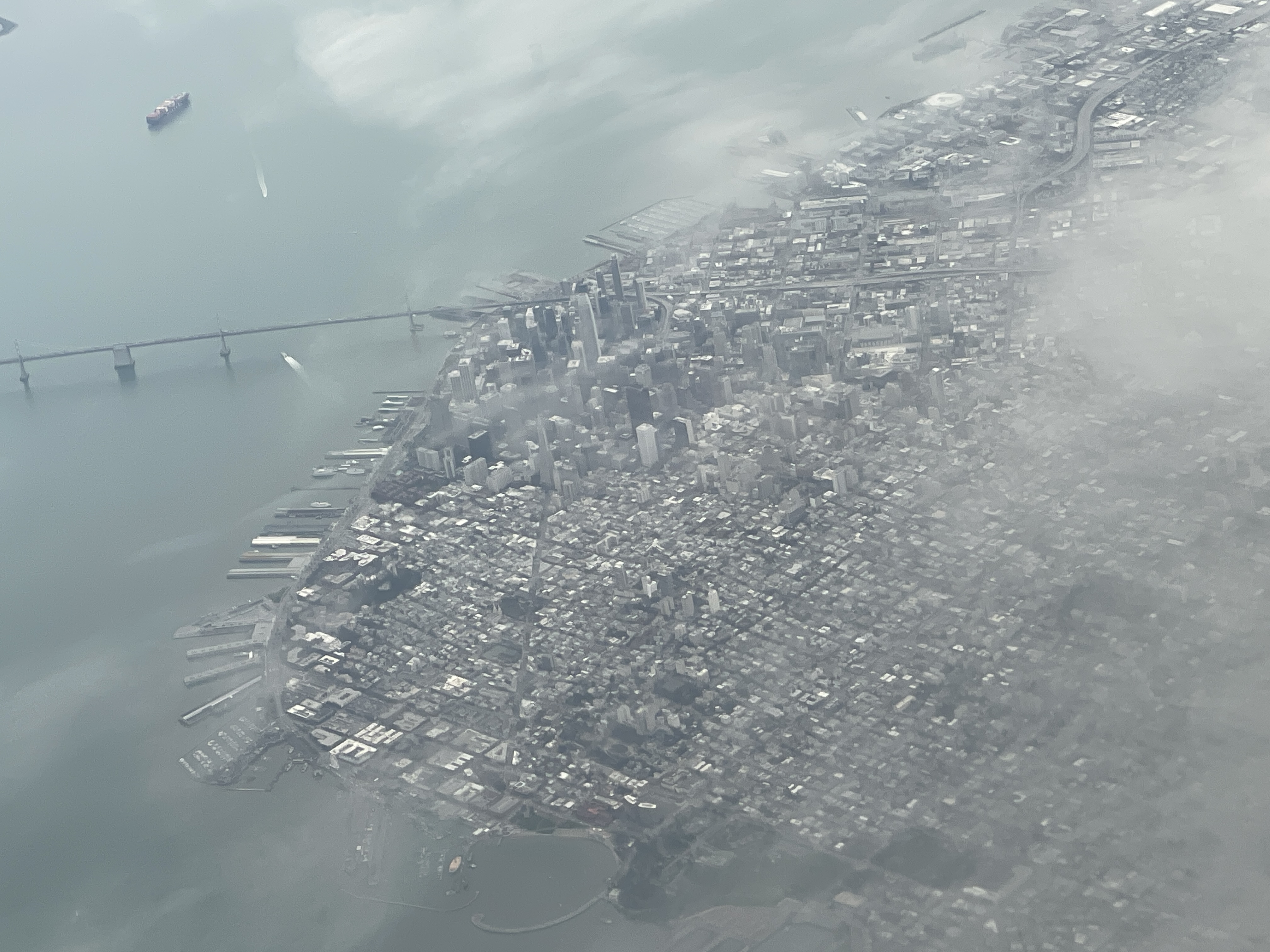
To me, half of the fun of going somewhere is to see where we are going from high above. The landscapes are all so varied, with layer upon layer of stories stacked up for us to see from our cruising altitude.
I also love seeing my hometown and home hills from above as we leave or return. This is something I've always enjoyed -- seeing the landscapefrom the new perspective, and playing geographic guessing games around reservoir names, highways, or peaks.
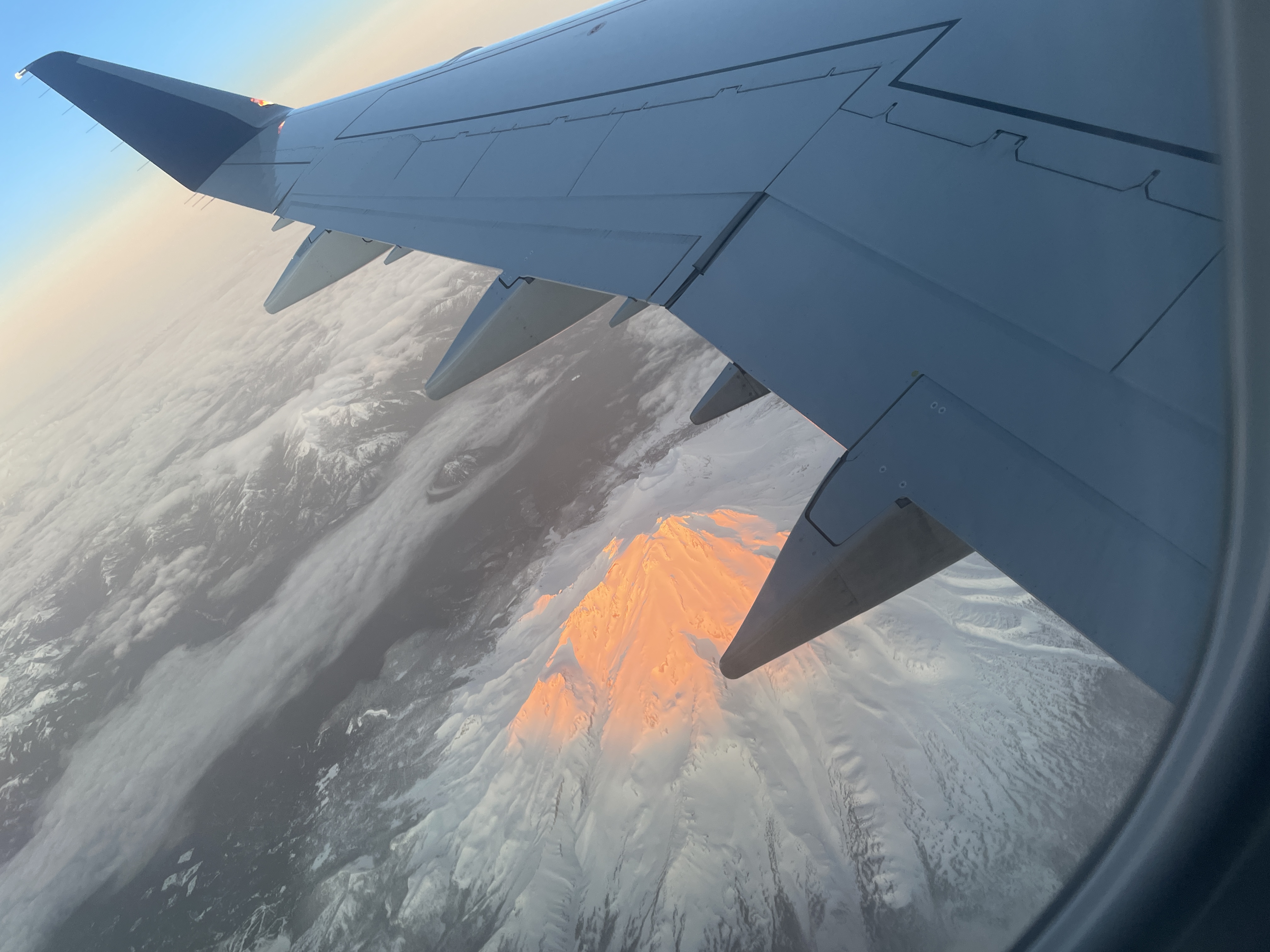
In late January, 2024, I flew from San Jose to Seattle for a work trip. The views on the way there were stunning as usual, with the timing of the flight making for a perfect showcase of Mt Shasta soaking up the last rays of sun for the day.
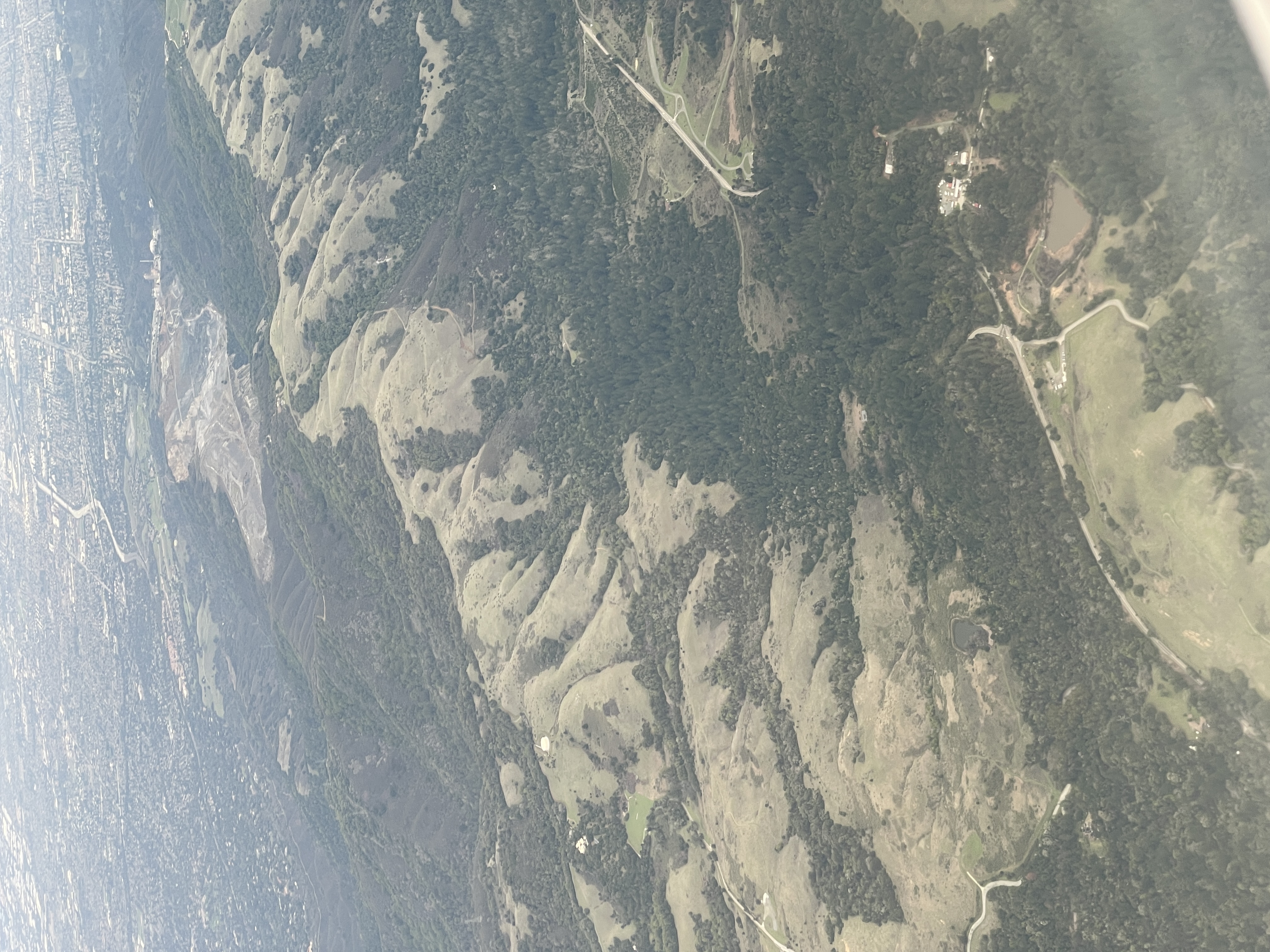
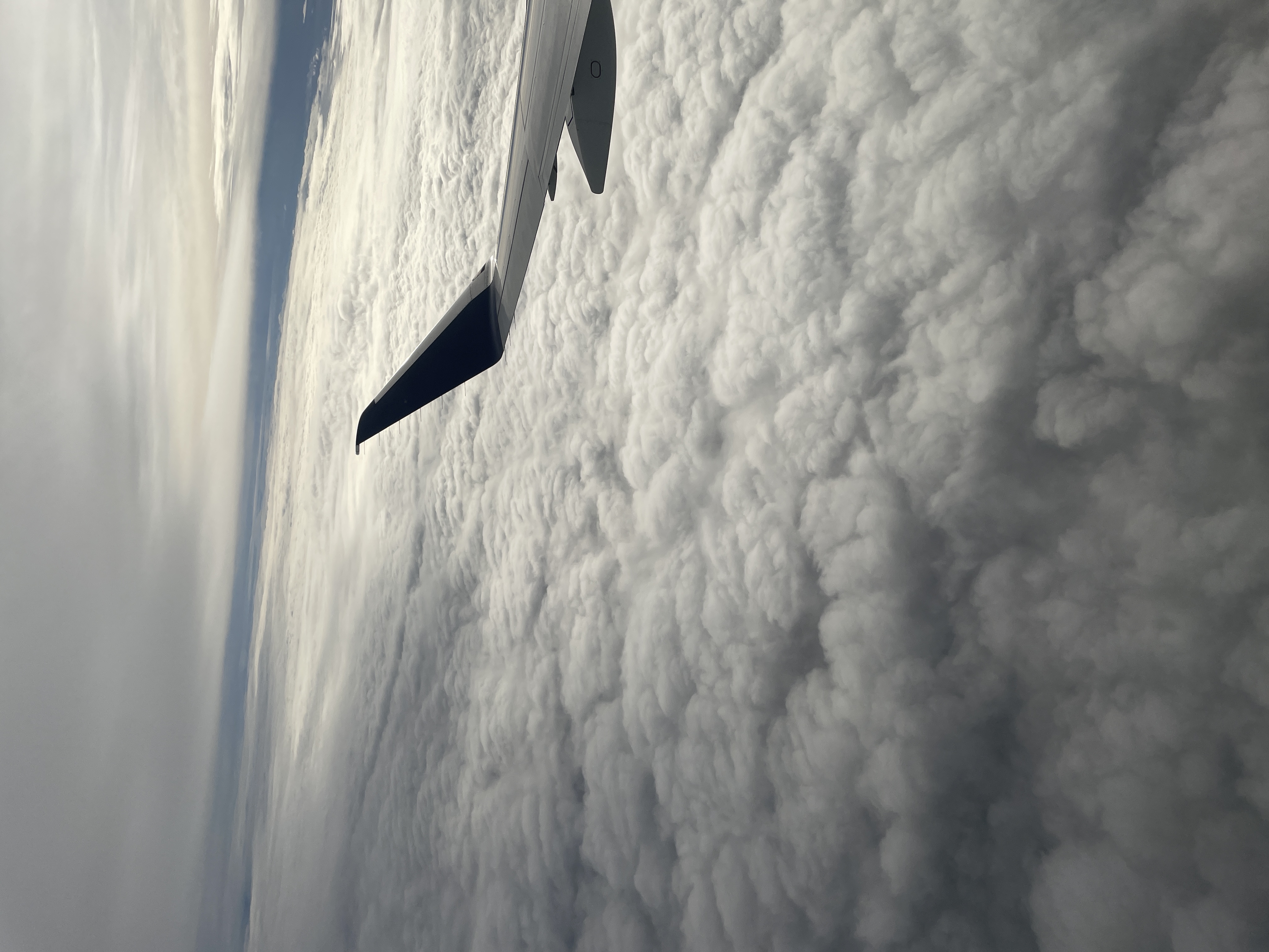
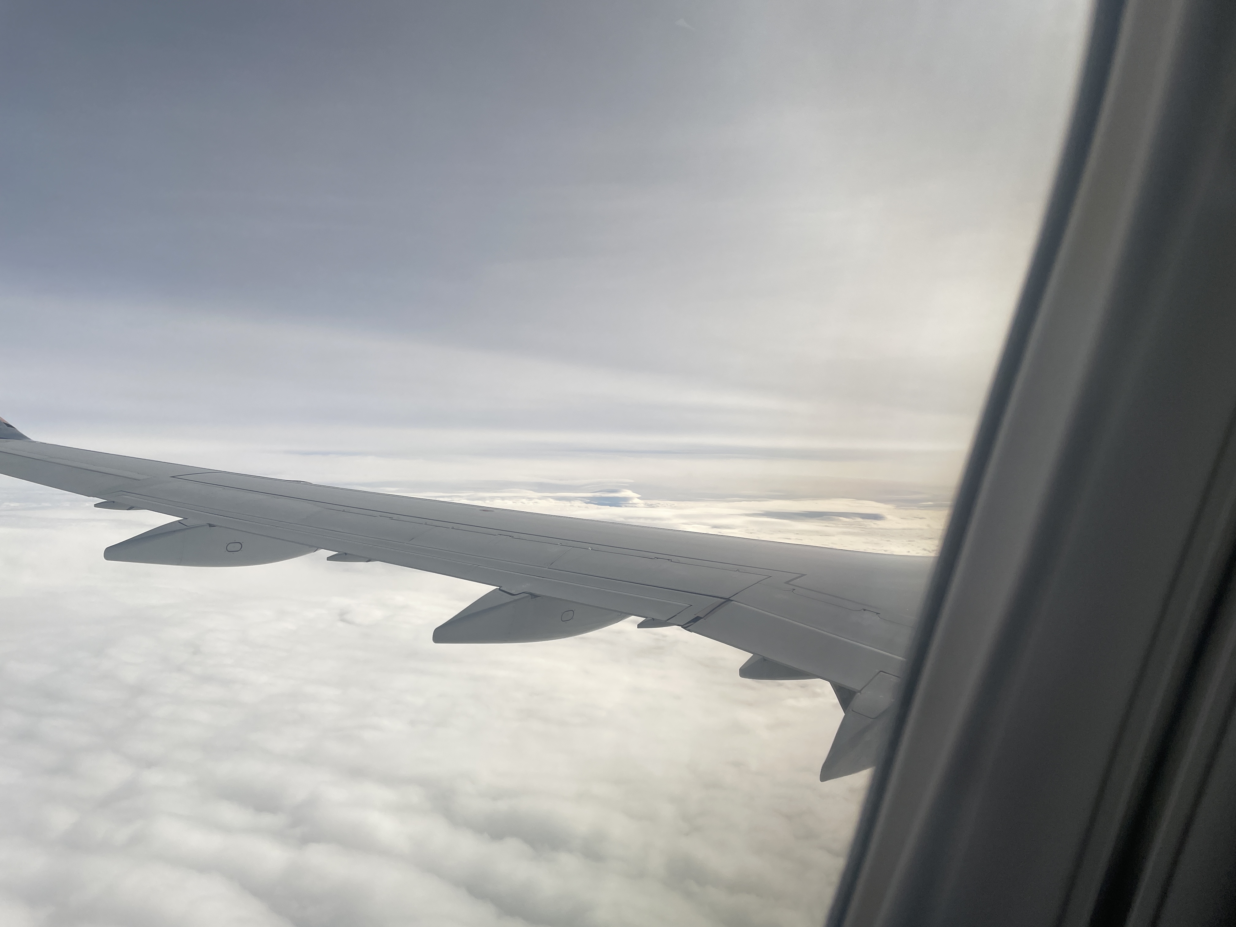
On the return trip (Jan 26), I was just amazed at what I was seeing from early on. The clouds were sparse and we were in them, so they went whizzing by at 500 miles an hour (sadly I didn't think to take a video!). We popped out of the clouds and the sights changed right away to different textures and patterns all around.
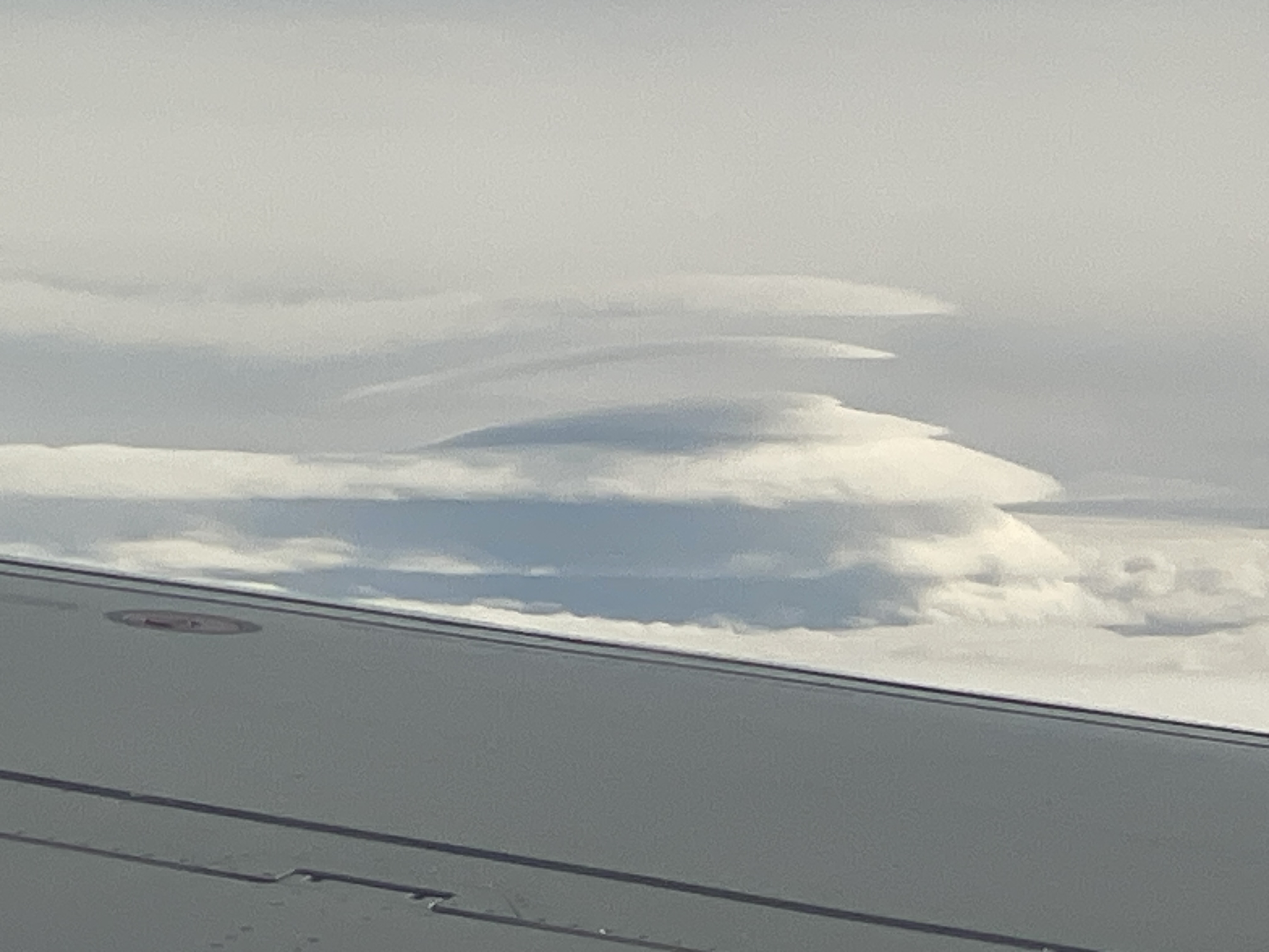
Then something odd was emerging from in front of the airplane. A strange cloud formation took shape like nothing I had seen before. I waited until the last second before it was covered by the wing to take this, to get as close as possible.
Here it is at maximum digital zoom.
Amazing lenticular clouds! I have never seen them stacked like this before. Have you?
After I got home I had to know if this was a mountain we were seeing? And if so, which mountain?
My phone has GPS of course, but it never manages to show me where I am when I'm in a plane on Airplane Mode, so I didn't trust to just look at the GPS data the phone tagged the image with. But I will later on here!
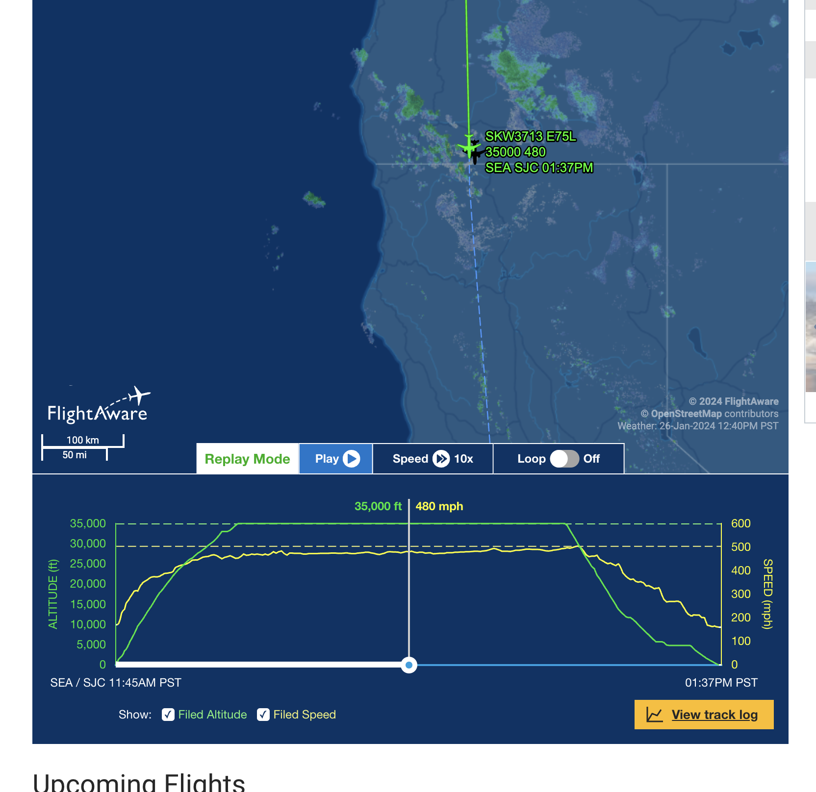
The picture was taken at 12:39pm PT on Jan 26, 2024. The flightaware.com tracking data starts at 11:45am PT, so I just needed to skip forward 54 minutes in the tracking data to place the plane on a spot on the map when the image was taken.
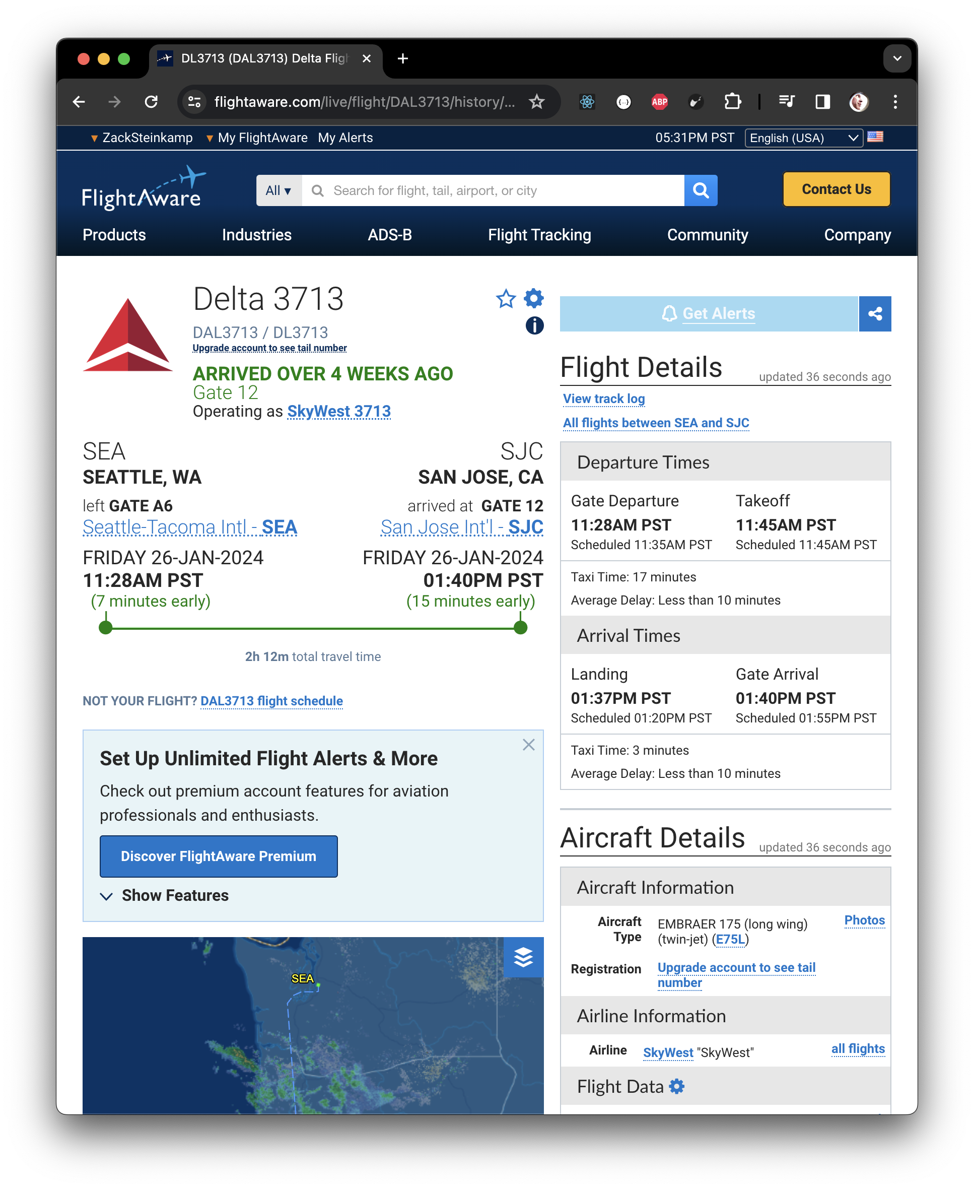
Here you can see it's just north of the California-Oregon border, near Ashland.
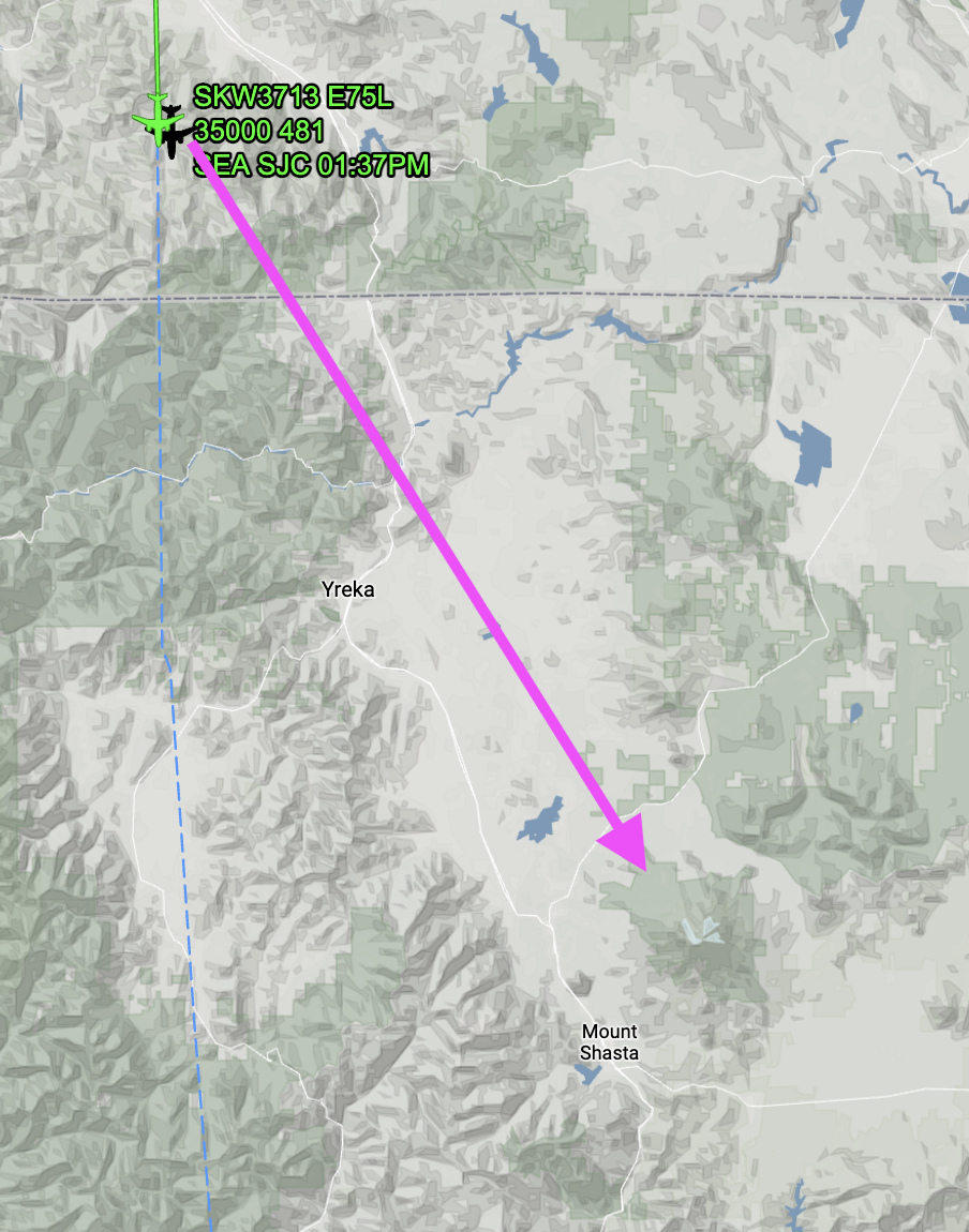
Based on which side of the plane I was sitting on, I could project forward straight to Mt Shasta!
It also ends up that the GPS location the phone tagged the image with is perfect. I wonder why apps like Google Maps don't work unless you're on wifi on the plane then.
Anyhoo, so Shasta made two starring appearances on this trip. First list up in golden sunlight, the second time under an amazingly complex layered arrangement of Nature's Majesty.